A heatwave walk looking for streams on Dundry, and following the Malago home

Back on 7th July, Vik and I went looking for streams on Dundry.  Our plan was to find as many of the streams that join together and form the Malago, and then follow the river right down to where it joins the Avon… but things didn’t turn out that way.  To be fair, it wasn’t all our fault – and we still had a lovely day and saw lots of new things, even if we didn’t see as many streams as I wanted.

Map of our walk here:

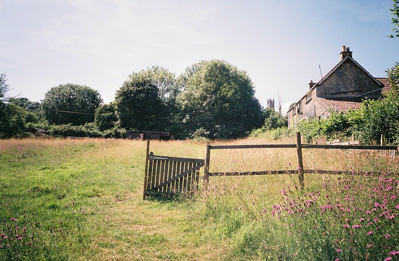
My flickr photo album (mouse/hover over the first image below for a slideshow, or click through)

Gate

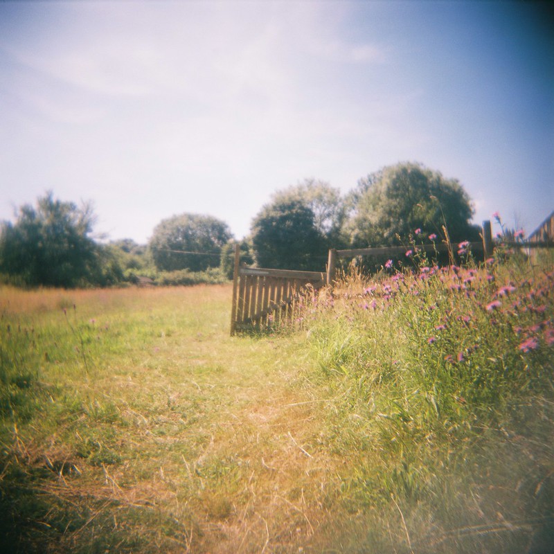
And some gorgeous photos Vik took, in her flickr album.

CNV00011

I also have sounds, words and photos below…

Continue reading “A heatwave walk looking for streams on Dundry, and following the Malago home”

Where are the rivers and streams in Bristol?

Yesterday I wanted to find out more about the Cranbrook, a little stream that’s only above ground for a couple of hundred metres in Redland, before I blogged about exploring it.  I couldn’t find out much about it, though in a comment on flickr, iyers told me it once flooded the Arches area of Gloucester Road.

But in failing to find the information I wanted, I found something better:  The Big Blue Map of Bristol from Bristol City Council, with the waters marked above and below ground as rivers (though I assume they aren’t showing the ones, like the Cranbrook, might join the sewer system. I love this map, it’s so useful!  You know I’m going to be pouring over this, with my OS maps next to me, and planning more walks…

A February walk: “The source of the Malago”, Stanton Drew and Maes Knoll

I’ve been walking a lot, recently, making the most of some free time, and trying to get outdoors as much as possible.  last week, my good friend Tracy Homer and I had a long day out in the hills south of Bristol, starting off looking for the source of Pigeonhouse Stream (aka the source of the Malago, but more on that later) and then getting deep into the history of the area, walking through the hills to the megalithic stone circles at Stanton Drew, and back up to Bristol via Maes Knoll, the Iron Age hill fort on the edge of the city.

Photos from the walk are here – I managed to break two cameras, with my Canon 550D just stopping working, and stupidly dropping my Olympus XA2 35mm, so they end up being just from my mobile, and my friend Cee‘s Olympus OM10….  If you mouse over or click the first photo, you should bring up the slideshow – otherwise the flickr album is here.

The source of Pigeonhouse Stream

Here’s the map of our walk:

Continue reading “A February walk: “The source of the Malago”, Stanton Drew and Maes Knoll”