August Dundry walk: Malago source, Maes Knoll and Hengrove Brook

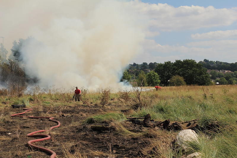
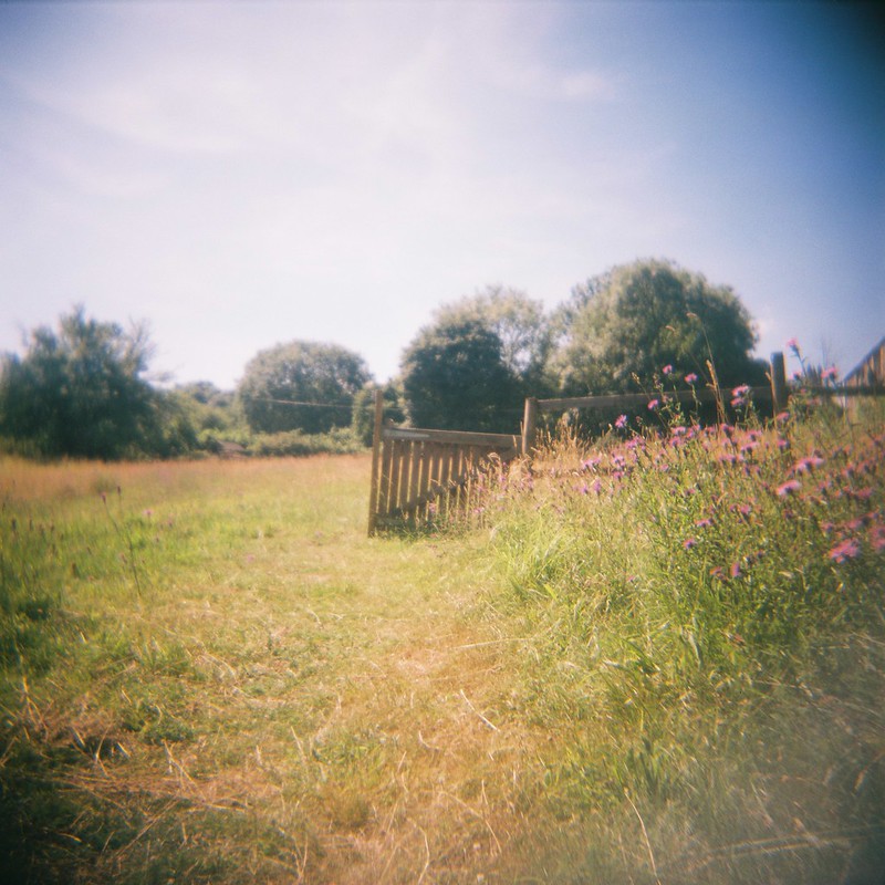
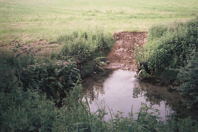
Back in August, Vik and I took the bus to Hartcliffe, and walked over the top of Dundry, via the source of Pigeonhouse Stream, down the other side of the ridge, then up over the Maes Knoll iron age fort, and down into Bristol via Hengrove Brook.

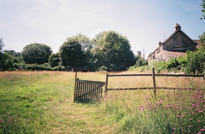
It was a weird weather day, the end of the heatwave, and the source of the Stream was a tiny trickle, with the walls around it pulled down.  The fields everywhere were golden with stubble and scorched yellow by all the sun, and all day the clouds were grey above us, until it finally started raining.

Here’s a map of our walk:

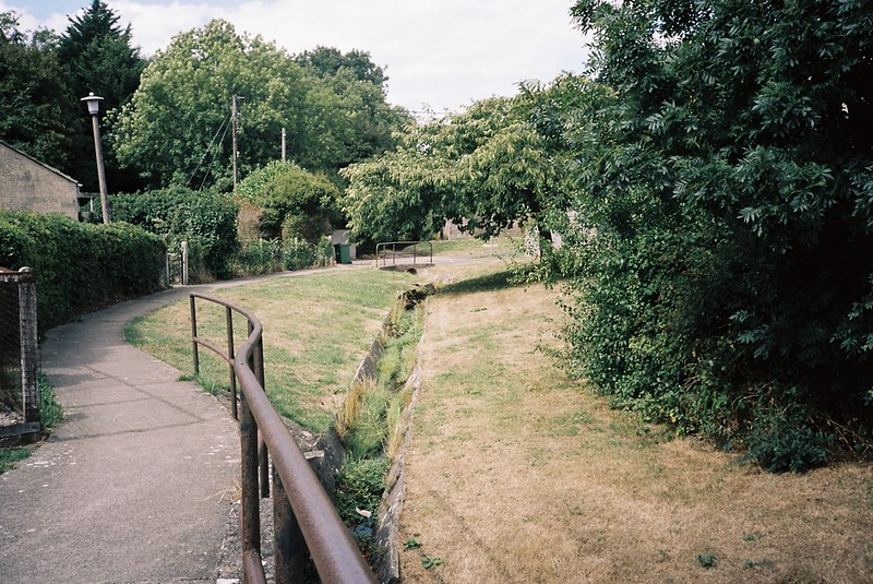
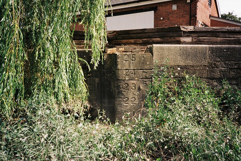
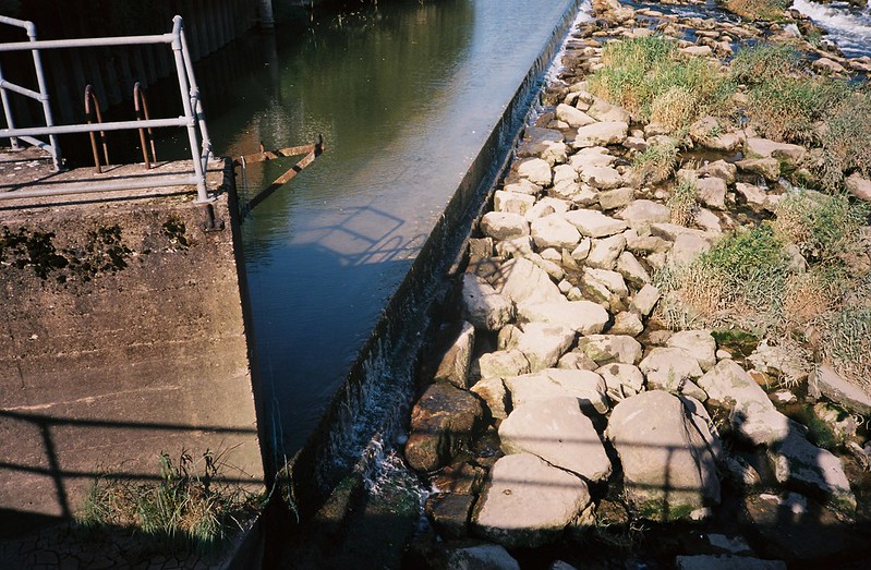
And my album of photos – mouse/swipe over to start the slideshow, or click through to the album on flickr.

Chew Valley Lake, from Maes Knoll

Some things we saw…

Continue reading “August Dundry walk: Malago source, Maes Knoll and Hengrove Brook”

Pill to Sea Mills – with an added grass fire

One of the walks I’ve repeated is from Pill, over the Avon via the M5 road bridge and down the river to Sea Mills.  I first walked this with Tracy Homer in August last year, and then again in November, but I really wanted Vik to see it too, because there is just so much to see.  It takes in some really interesting spaces, especially the industrial ones, and it’s seeped in history – but this time it got very dramatic, as we got to see one of the impacts of the heatwave from closer than I even thought I would.

Here’s the map of our walk, from 5th August 2018:

An album of (a lot of) my photos – mouse/swipe over the first one to start the slideshow, or click through to the album

Fighting the Sea Mills grass fire

…and here are Vik’s gorgeous photos from her holga and deliberate double exposures from her Fuji PET – hopefully you can start the slideshow below, or click through for her album.

Folly

I’ve got some specific photos, some soundscapes and a mini film below, with thoughts on some of the things we saw, if you want more…

Continue reading “Pill to Sea Mills – with an added grass fire”

Walking Brislington Brook

I’ve been thinking about walking Brislington Brook for a really long time, and looking at it on maps, planning and imagining, so I was really happy that on the last day of July, Tracy Homer, Vik and I got the bus out to Whitchurch to walk the full length of it, starting on the lower slopes of the Dundry ridge, all the way to the Avon at St Anne’s.  I was especially glad to go through some neighbourhoods I’ve never been to before, or only passed through in a car or on a bus.

Here’s the map of our walk

And my flickr album.  As always, if you mouse/swipe over, it should start a slideshow, or you can click through.

Brislington Brook in Whitchurch

There are a lot of photos in that album, and hopefully they fit with the map pretty easily, but I want to talk about a couple of the places, with some sounds, below….

Continue reading “Walking Brislington Brook”

A walk around some functional Avon spaces

At the end of July Matt, Vik and I were looking for a walk to do away from people, which was a bit complicated, with the Chocolate Path closed, and crowds filling Bedminster and Southville for Upfest.  It can be challenging, finding walks that start in the city centre and includes places we haven’t been, but the ferry trip down the New Cut and the Avon that Matt and I had taken had inspired me, and so we went to explore some of the places I’d seen from the boat – the functional spaces.

Here’s where we walked:

And here’s my flickr album from the walk – hopefully if you mouse/swipe over the first photo, it will start a slideshow, but if not, you can also click through.

fullsizeoutput_27b9

So what did we see?

Continue reading “A walk around some functional Avon spaces”

A shady heatwave walk

It was bad enough walk-commuting in the heatwave without melting, let alone walking for fun,  but luckily exploring the water means there are a lot of shady walks.  On 24th July, Tracy Homer and I took the bus out of the city to walk and talk, from Abbott’s Pool, down through Paradise Bottom and along the Avon back into Bristol.  Here’s where we walked:

and my flickr album of photos from the walk:


Abbot's Pool, a wild swimming spot

So where did we go?

Continue reading “A shady heatwave walk”

A heatwave walk looking for streams on Dundry, and following the Malago home

Back on 7th July, Vik and I went looking for streams on Dundry.  Our plan was to find as many of the streams that join together and form the Malago, and then follow the river right down to where it joins the Avon… but things didn’t turn out that way.  To be fair, it wasn’t all our fault – and we still had a lovely day and saw lots of new things, even if we didn’t see as many streams as I wanted.

Map of our walk here:

My flickr photo album (mouse/hover over the first image below for a slideshow, or click through)

Gate

And some gorgeous photos Vik took, in her flickr album.

CNV00011

I also have sounds, words and photos below…

Continue reading “A heatwave walk looking for streams on Dundry, and following the Malago home”

Low tide adventures

The heatwave may have dried up the rivers, scorched the grass and given farmers a terrible year, but I have some good memories too.  Back on 3rd July I walked home from work “the long way round”, and went to the very end of the Floating Harbour, where it meets the Avon in the curve of the Entrance Lock walls.  It was low tide, a gorgeous day, and one of the highlights of my summer.

Here’s a flickr photo album of 35mm film shots from my Olympus XA2 (if you mouse/swipe over the first photo below, hopefully you’ll get a slideshow…)

Someone else's footprints

And some words about some of the photos, and a sound:

Continue reading “Low tide adventures”

Weird Bristol Walk, June 2018

I am a huge fan of Charlie Revelle-Smith‘s Weird Bristol twitter, sharing little nuggets of information about the city – and so I was excited to share the druid gravestone that Vik and I saw in Avonview Cemetery on our way home from the Bristol Walk Fest walk around the Avon Valley.  We’d been talking about going on a walk together, and this was the perfect place to start, to look around the cemetery and come back via some of my favourite weird Bristol places.  On 28th June, in the heatwave, we got on a bus after work and went exploring.

Here’s the map of where we went:

And here’s my flickr photo album (click through or mouse over the first picture to start a slideshow)

Netham Weir

Make sure you follow Charlie’s twitter – and look out for his Weird Bristol book that’s coming out soon!  And to find out more about him, listen to my podcast interview with him from last July.

Continue reading “Weird Bristol Walk, June 2018”

Eastwood Farm and Strad Brook, June 2018

Vik and I had been to Eastwood Farm as part of the fantastic Bristol Walk Fest Friends of Troopers Hill walk, but we wanted to have another look, so on 23rd June, our friend Matt drove us over to have a look.  We ended up walking around Eastwood Farm (and dipping cameras into the lagoon!) then crossing the Avon on the Beese’s Ferry, and walking up the Strad Brook, the stream that divides Bristol and South Gloucestershire.

Here’s the map of the walk:

And the first batch of photos, a flickr album from Eastwood Farm:

Underwater, Eastwood Farm

Continue reading “Eastwood Farm and Strad Brook, June 2018”

Exploring the source(s) of the Avon

Back in June, the lovely Matt Gibson took Vik and me for a roadtrip, to explore various sources of the Avon – Wor Well, where the Tetbury Avon starts; Joyce’s Pool, where the Sherston branch of the Avon sometimes begins; to see a long barrow; and around Malmsbury, where the two branches meet.  It was a lovely day, and I have photos, a sound and some thoughts.

Here’s the map of where we went:

and I have a flickr album of all the photos from the day, but I’ll have specific albums below too.  As always, mouse over the first photo to start the slideshows…

Wor Well, the source of the Tetbury Avon

Continue reading “Exploring the source(s) of the Avon”