Royate Hill and down the Frome

Ever since I went to Royate Hill Nature Reserve while walking along Coombe Brook with Tracy, I’ve been thinking about that space.   I was especially thinking about the photos I took of the brook from the viaduct, and wanting more.   So as last Tuesday was a beautiful day, I hopped on the bus to go back.   After the nature reserve, I walked back into town down the line of the Frome – my map is here:

and the album of photos is on flickr – or if you mouse over the first picture below, it should bring up the slideshow.   I have some film-ettes too, which I’ve added in below.

Royate Hill viaduct Nature Reserve

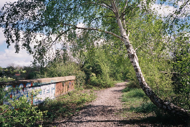
It was such a contrast to last time.  That day was grey and misty, Tuesday was blue skies, and breezes.  As soon as I got into the reserve and was walking up the steps, I could see how spring had changed things in the few weeks since I was last here, with cow parsley coming out, and annual plants everywhere.  All the leaves were that perfect spring acid green, shining in the sun.

Continue reading “Royate Hill and down the Frome”

Coombe Brook, April 2018

I’m really enjoying using this project to explore places I’ve never been in Bristol, and last Wednesday’s walk with Tracy Homer was a perfect example.  We wanted something not too long and arduous, and I’d had on my list these little runs of water through Speedwell and Clay Bottom, which seemed even more intriguing on the Bristol City Council’s Big Blue Map of Bristol, which shows (most of) the rivers and streams where they run above and below ground, and named this one:  Coombe Brook, aka The Gossey.  It’s only a few kilometres long, but it runs through two very different nature reserves, and even when it’s below ground, its path is a green corridor through the city almost until it reaches the River Frome.  Intriguing in so many ways!

Our walk map is here – with the line of the river very approximately in blue.  I’ve added in our full walk, including heading back along the Bristol-Bath Cycle Path:

And my photo album from the walk is on flickr, or below (if you click or mouse over the first image, it should bring up the slideshow.

Coombe Brook footbridge

So, what did we see?

Continue reading “Coombe Brook, April 2018”

March Frome commuting

Back in March, I was temping in Eastville, with one of those annoying commutes that had lot of options, all of them with something irritating about them.  But one of the routes intersected with the River Frome in a place I’ve never been to.  When walking the Frome, I’ve always got to the end of Eastville Park and then turned down under the M32, rather than the curve of Glenfrome/Heath Road, and while there’s not much to see of it, it’s still really interesting.

First, the view from the bridge on Muller Road, looking north:

The Frome, Eastville

You don’t get to see much more, walking up Heath Road, until on Glenfrome Road, the houses stop, and there’s a fence you can put your camera through, and see the river curve.  Looking south:

Continue reading “March Frome commuting”

Where are the rivers and streams in Bristol?

Yesterday I wanted to find out more about the Cranbrook, a little stream that’s only above ground for a couple of hundred metres in Redland, before I blogged about exploring it.  I couldn’t find out much about it, though in a comment on flickr, iyers told me it once flooded the Arches area of Gloucester Road.

But in failing to find the information I wanted, I found something better:  The Big Blue Map of Bristol from Bristol City Council, with the waters marked above and below ground as rivers (though I assume they aren’t showing the ones, like the Cranbrook, might join the sewer system. I love this map, it’s so useful!  You know I’m going to be pouring over this, with my OS maps next to me, and planning more walks…

A walk from Filton to Eastville along the Frome

Last week I was up in Filton, recording the podcast with the Bristol Avon Rivers Trust, and afterwards, since I was up in that neighbourhood, I walked down through the Stoke Park Estate, and along the Frome.

Stoke Park was beautiful – completely empty on this hot, summer day, with the sounds of crickets, birdsong, ‘planes overhead, and the M32 thrumming in the distance.  It’s somewhere I’ve only been once before, and I really should find out more about it, especially the strange ruins.

Stoke Park Estate

I have a thing about being underneath roads, so in the tunnel under the motorway, I recorded the sounds – under, and then next to it:

After Stoke Park, I went down to the Frome, starting at the weir at Broom Hill.  Clambering over the sluicegate to stand on the end of the weir, I put my disposable underwater film camera into the weir, for different views of it.  I love these three especially

Continue reading “A walk from Filton to Eastville along the Frome”

Avon Stories #9: Protecting our rivers with the Bristol Avon Rivers Trust

My Avon Stories project is based around the river and the waters in Bristol, and while I’ve been looking at how the river impacted on the history of Bristol, and how people use and are inspired by the river, I’m also very interested in the water itself – and in this podcast, I set out to find out more

I talked to Claire Hutchinson, a Project Officer with the Bristol Avon Rivers Trust (BART), a community-based charity that works to protect and improve the rivers and streams.  Claire told me about how healthy the water is, the challenges and issues facing the rivers, including the different forms of pollution, and what BART, and we, can do to protect our environment.

The BART catchment area covers the Avon and all the tributaries that feed into it:

You can find out more about BART’s work on their website, including their projects, and the ones we talked about:

Continue reading “Avon Stories #9: Protecting our rivers with the Bristol Avon Rivers Trust”

Avon Stories #3 – Bristol and the Medieval Avon, part 1 – the City and the Rivers

This is the first of a two-part podcast where I met with Dr Peter Fleming of the University of the West of England, who told me all about Bristol in Medieval times, and how the River Avon and the River Frome were integral in making it one of the most important cities of the time in England and Western Europe.

In Part 1, we talk about the physical city and the infrastructure, how the geography made Bristol so important, as well as how people lived, who had the power, and what the city would have looked (and smelled) like.

Part 2 looks at how Bristol survived some of the big sweeping events of the time, with more about who lived and worked in the city, including the Knights Templars, the Jewish communities, women in Bristol, and Icelandic slaves.  We also talked about what Bristolians did for fun, including music, plays, sport and drinking.  Listen to that one here.

Of course, I have maps to give you an idea of what things looked like, with lots more links below.  First, my own map, with my rough approximations of where the city walls were, as well as the path of the River Frome as it runs through Bristol.  All errors are my own!

UPDATE!  There’s also the official Bristol City Council map of the Medieval city, overlaid on top of modern-day streets

I’ve also added photos of what the places look like now, and you can also find these in my flickr albums of walking the Frome line, walking the inside of the Medieval Wall, and what’s left of the Bristol Castle.

Continue reading “Avon Stories #3 – Bristol and the Medieval Avon, part 1 – the City and the Rivers”